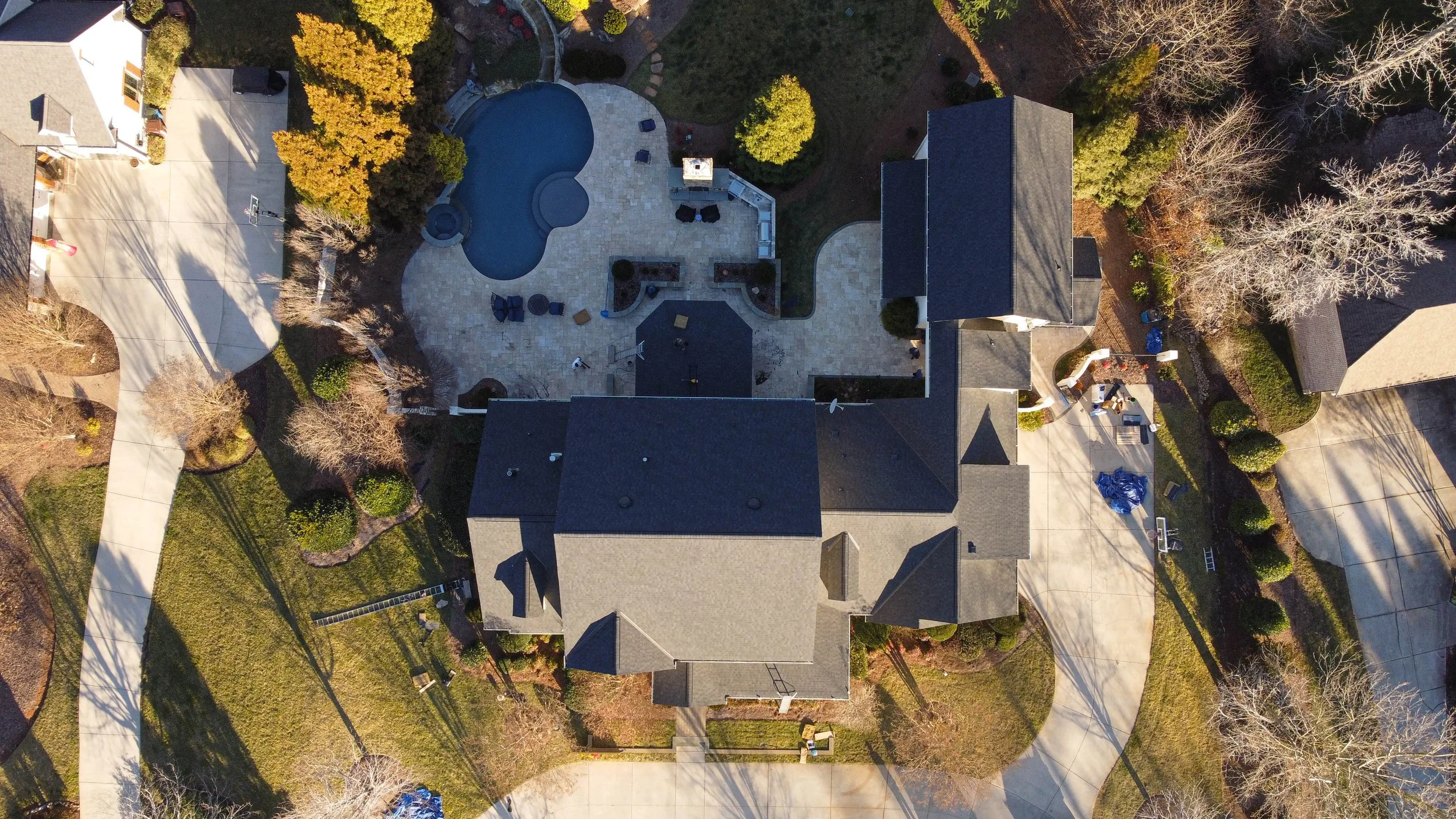
REAL ESTATE DRONE PHOTOGRAPHY
Aerial photos that make your listings stand out. Capture the full property, lot boundaries, and neighborhood context from perspectives buyers rarely see.
What's Included
- Web + print resolution
- Color-corrected and professionally edited
- Online gallery for easy sharing
- Next-day delivery available upon request
- Custom angles and perspectives available upon request
- Multiple angles and elevations
Pricing
Standard
$150
- 15+ aerial photos
- Wide establishing shots of the property
- Front, rear, and side elevations
- Neighborhood and lot context shots
- Web + print resolution delivery
Premium
$300
- 25+ aerial photos
- Everything in Standard
- Close-up architectural detail shots
- Golden hour or twilight options
- Short aerial video clip included
Luxury
$450
- 40+ aerial photos
- Everything in Premium
- Full cinematic aerial video
- Multiple passes at varied altitudes
- Priority editing and delivery
Contact for exact pricing. All prices are estimates and may vary depending on location and specifics.
Why Aerial Photos Help Listings Stand Out
In today's market, buyers scroll through dozens of listings online before ever scheduling a showing. Aerial photography gives your listing an immediate competitive advantage.
Drone photos show the full scope of the property, including lot size, boundaries, landscaping, and proximity to amenities, in ways that ground-level photos simply can't convey.
Professional aerial photos help properties make a stronger first impression and attract more qualified buyers.
Want to take it further? Pair your aerial photos with an FPV Drone Tour to give buyers a full cinematic walkthrough of the property. The combination is one of the most powerful marketing tools available to agents today.